
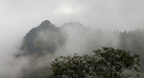
The Chimneys are one of the few peaks in the Smokies that have a bare rock summit. When the mountains were inhabited by the Cherokees this summit was referred to as a forked antler as the mountain resembles the antlers of a deer.
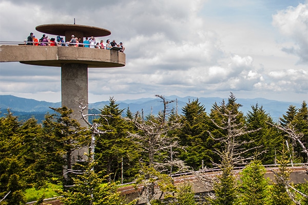
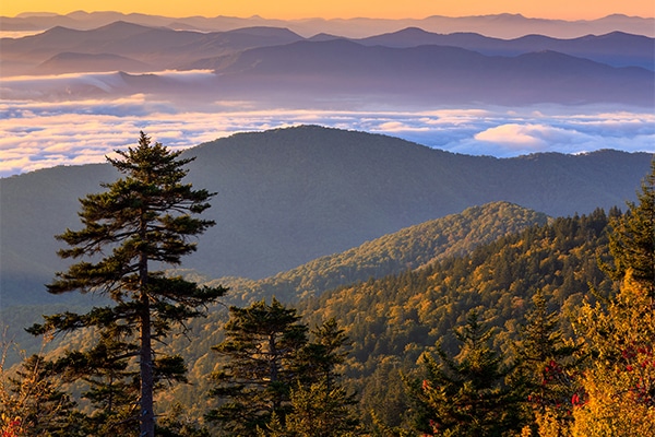
You will want to make sure to have a camera handy to stop and snap some pictures of the outstanding views along the trail in addition to the stunning view at the top, where you’ll be at an elevation of 4,724 feet. Enjoy your Chimney Tops Trail adventure!
Directions to Chimney Tops Trail
- Take I-40 Exit 407 and follow Highway 66 South for 8 miles to 441 South to Gatlinburg.
- From 441 South on Newfound Gap Road, after about 6.5 miles, you will pass the Sugarlands Visitors Center. There is a parking on the right of the road with the trailhead sign.
- Be sure to not confuse the Chimney Tops Picnic area from the trailhead.
Day Hiker’s Checklist
- Raingear – Carry a rain jacket or poncho at all times in the Smokies. Rain pants should be included in colder weather.
- Water – Carry two quarts per person on longer hikes.
- Extra Clothes – Cotton is not recommended in cold weather or at high elevations. Carry clothing that will keep you warm when wet such as wool or synthetic “fleece.”
- Map – A variety of park trail maps are available. Keep one in your pack at all times.
- Food – Carry high energy snacks and eat often.
- Flashlight – A good flashlight or headlamp is welcome if you are caught out on the trail after dark.
- Matches – Waterproof matches are best.
- Whistle – Bring a whistle to signal rescuers if lost. All children should carry one.